Descente Tsaranoro
Randonnée pédestre. En aller simple. #Randonnée
- Distance: 11.4 Km
- Elevation gain: 168 m
- Maximum elevation: 1,642 m
- Elevation loss: 846 m
- Minimum elevation: 858 m
- Moving time: 3 h 39 m
- Moving speed: 3.1 Km/h
- Maximum speed: 5.0 Km/h
- Total time: 6 h 34 m
- Global speed: 1.7 Km/h
- Date: 10/10/15
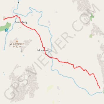
Interactive map
GPS track profile
About this GPS track
Name: Descente Tsaranoro GPS track, route, trail
Start: Haute Matsiatra, Province de Fianarantsoa, Madagascar (-22.12672 46.84481)
End: Camp Catta, Soavahiny, Haute Matsiatra, Province de Fianarantsoa, Madagascar (-22.08020 46.77478)
Coordinates: -22.12672 46.77466 -22.07721 46.84496