Mount Sinclair
Interactive map
GPS track profile
About this GPS track
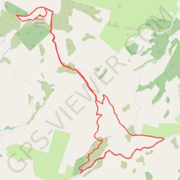
Name: Mount Sinclair GPS track, route, trail
Coordinates: -43.74678 172.85395 -43.71573 172.89227
Other GPS tracks
Click on a GPS track to view route, its statistics and profile.
Name: Mount Sinclair GPS track, route, trail
Coordinates: -43.74678 172.85395 -43.71573 172.89227
Click on a GPS track to view route, its statistics and profile.