Sandia Peak Ski
Interactive map
GPS track profile
About this GPS track
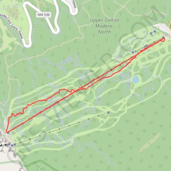
Name: Sandia Peak Ski GPS track, route, trail
Start: King of the Mountain, Bernalillo County, New Mexico, United States (35.20138 -106.42501)
End: Golden Eagle, Bernalillo County, New Mexico, United States (35.19738 -106.43314)
Coordinates: 35.19689 -106.43424 35.20681 -106.41388
Other GPS tracks
Click on a GPS track to view route, its statistics and profile.