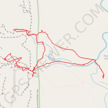
Parc Isalo - Canyon Maki canyon rats - Ranohira - Madagascar
Interactive map
GPS track profile
About this GPS track
Name: Parc Isalo - Canyon Maki canyon rats - Ranohira - Madagascar GPS track, route, trail
Coordinates: -22.48832 45.37249 -22.47884 45.39336
Other GPS tracks
Click on a GPS track to view route, its statistics and profile.
Randonnée dans le parc de l'Isalo à Madagascar
Madagascar > Ihorombe > Ranohira le Vieux
Randonnée pédestre. En aller simple. #Randonnée
Distance: 12.3 Km • Elevation gain: 666 m • Maximum elevation: 1,097 m
Parc Isalo - Depuis le canyon Maki vers piscine Naturelle & Ranohira
Madagascar > Ihorombe > Ranohira le Vieux
Randonnée pédestre. En aller simple. #Randonnée
Distance: 15.5 Km • Elevation gain: 699 m • Maximum elevation: 1,098 m