Holy Jim Falls
Interactive map
GPS track profile
About this GPS track
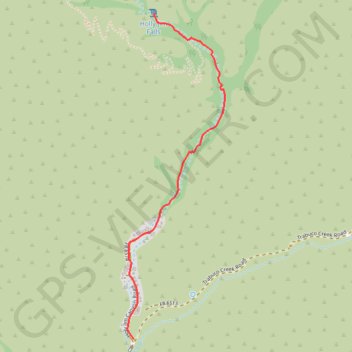
Name: Holy Jim Falls GPS track, route, trail
Start: 1, Holy Jim Canyon Road, Orange County, California, 92678, United States (33.67706 -117.51712)
End: Holy Jim Hiking Trail, Orange County, California, United States (33.69438 -117.51582)
Coordinates: 33.67706 -117.51752 33.69438 -117.51131
Other GPS tracks
Click on a GPS track to view route, its statistics and profile.