Import a GPX file

Horseshoe Mesa (Grand Canyon)

Hike on the Grandview Trail to Horseshoe Mesa in the Grand Canyon National Park. #Hike #Canyon #Mountain #Nature #Forest #Park

  • Distance: 4.5 Km
  • Elevation gain: 131 m
  • Maximum elevation: 2,257 m
  • Elevation loss: 896 m
  • Minimum elevation: 1,490 m

Interactive map

GPS track profile

About this GPS track

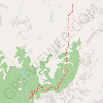
Name: Horseshoe Mesa (Grand Canyon) GPS track, route, trail

Start: Grandview Trail, Coconino County, Arizona, United States (35.99803 -111.98778)

End: Grandview Trail, Coconino County, Arizona, United States (36.02030 -111.97591)

Coordinates: 35.99803 -111.98783 36.02030 -111.97567

Other GPS tracks

Click on a GPS track to view route, its statistics and profile.

Grandview Trail (Grand Canyon)

United States > Arizona > Coconino County

Hike along the Grandview Trail from Grandview Point in the Grand Canyon National Park. #Hike #Canyon #Mountain #Nature #Rock #River #Park

Distance: 13.8 Km • Elevation gain: 1,150 m • Maximum elevation: 2,254 m