Pine Creek Trail
Hike on the Pine Creek Trail and the Fire Ecology Loop Trail in the Red Rock Canyon National Conservation Area and the Rainbow Mountain Wilderness. #Hike #Mountain #Nature #Forest
- Distance: 5.6 Km
- Elevation gain: 145 m
- Maximum elevation: 1,319 m
- Elevation loss: 149 m
- Minimum elevation: 1,203 m
- Moving time: 1 h 45 m
- Moving speed: 3.2 Km/h
- Maximum speed: 10.6 Km/h
- Total time: 2 h 38 m
- Global speed: 2.1 Km/h
- Date: 03/01/17
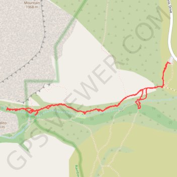
Interactive map
GPS track profile
About this GPS track
Name: Pine Creek Trail GPS track, route, trail
Start: Pine Creek Trail, Clark County, Nevada, United States (36.12865 -115.47346)
End: Pine Creek Trail, Clark County, Nevada, United States (36.12866 -115.47383)
Coordinates: 36.12354 -115.49367 36.12881 -115.47346