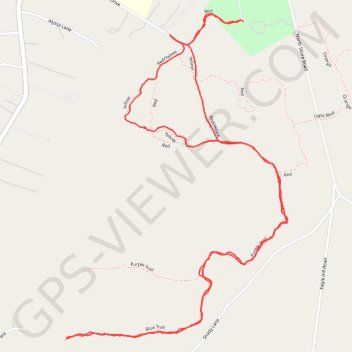
Magothy Greenway Yellow/Blue
Loop hike from Edward Looper Park (Loopers Field). #Hike #Loop #Nature #Forest
- Distance: 5.2 Km
- Elevation gain: 19 m
- Maximum elevation: 16 m
- Elevation loss: 19 m
- Minimum elevation: 5 m
- Moving time: 1 h 21 m
- Moving speed: 3.9 Km/h
- Maximum speed: 16.6 Km/h
- Total time: 1 h 33 m
- Global speed: 3.4 Km/h
- Date: 18/02/24
Interactive map
GPS track profile
About this GPS track
Name: Magothy Greenway Yellow/Blue GPS track, route, trail
Start: Red, Lyndale, Lake Shore, Anne Arundel County, Maryland, 21122, United States (39.10371 -76.48945)
End: Red, Lyndale, Lake Shore, Anne Arundel County, Maryland, 21122, United States (39.10375 -76.48959)
Coordinates: 39.09321 -76.49709 39.10398 -76.48759