Ascension irupuntuncu
Randonnée pédestre. En aller simple. #Randonnée
- Distance: 2.4 Km
- Elevation gain: 634 m
- Maximum elevation: 5,099 m
- Elevation loss: 2 m
- Minimum elevation: 4,464 m
- Moving time: 1 h 38 m
- Moving speed: 1.5 Km/h
- Maximum speed: 1.9 Km/h
- Total time: 3 h 1 m
- Global speed: 0.8 Km/h
- Date: 23/09/12
Interactive map
GPS track profile
About this GPS track
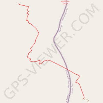
Name: Ascension irupuntuncu GPS track, route, trail
End: Pica, Provincia del Tamarugal, Tarapacá, Chili (-20.73219 -68.55871)
Coordinates: -20.74388 -68.55871 -20.73219 -68.55010