Red Canyon
Interactive map
GPS track profile
About this GPS track
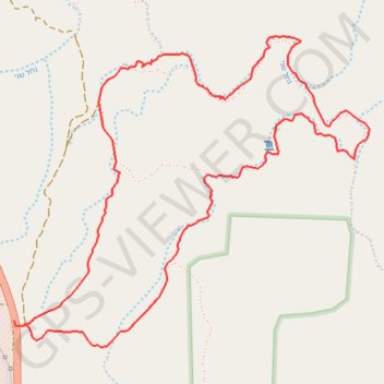
Name: Red Canyon GPS track, route, trail
Start: Western Border Road, Hevel Eilot Regional Council, Beersheba Subdistrict, Israel (29.66902 34.87039)
End: Western Border Road, Hevel Eilot Regional Council, Beersheba Subdistrict, Israel (29.66932 34.87032)
Coordinates: 29.66804 34.87032 29.68327 34.89035
Topography: Hevel Eilot Regional Council topographic map, elevation, terrain