Riverside Walk
Interactive map
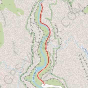
GPS track profile
About this GPS track
Name: Riverside Walk GPS track, route, trail
Coordinates: 37.28516 -112.94877 37.29667 -112.94661
Other GPS tracks
Click on a GPS track to view route, its statistics and profile.
The Narrows
United States > Utah > Washington County > Zion Lodge
Hike along Virgin River to The Narrows from Temple of Sinawava via Riverside Walk, The Narrows Day Hike Section, Mystery Canyon Falls, 200' Waterfall, House Rock and Floating Rock in the Zion National Park. #Hile #Canyon #River #Rock #Nature #Park #Falls #Zion
Distance: 11.3 Km • Elevation gain: 1,579 m • Maximum elevation: 1,583 m