Cape Horn Loop
Interactive map
GPS track profile
About this GPS track
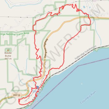
Name: Cape Horn Loop GPS track, route, trail
Start: Cape Horn Trail, Skamania County, Washington, 97010, United States (45.58939 -122.17916)
End: Cape Horn Trail, Skamania County, Washington, 97010, United States (45.58939 -122.17916)
Coordinates: 45.56712 -122.20401 45.59210 -122.17844