Donut Falls
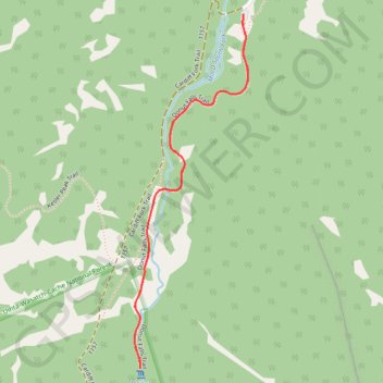
Interactive map
GPS track profile
About this GPS track
Name: Donut Falls GPS track, route, trail
Coordinates: 40.63105 -111.65470 40.63956 -111.65111
Name: Donut Falls GPS track, route, trail
Coordinates: 40.63105 -111.65470 40.63956 -111.65111