Maxwell Falls Loop
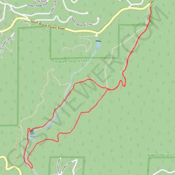
Interactive map
GPS track profile
About this GPS track
Name: Maxwell Falls Loop GPS track, route, trail
Coordinates: 39.56490 -105.37857 39.58240 -105.36077
Name: Maxwell Falls Loop GPS track, route, trail
Coordinates: 39.56490 -105.37857 39.58240 -105.36077