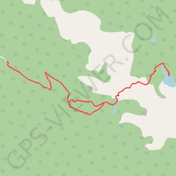
Mause Creek/Tangle Foot Trail
Interactive map
GPS track profile
About this GPS track
Name: Mause Creek/Tangle Foot Trail GPS track, route, trail
Coordinates: 49.60764 -115.47754 49.61525 -115.44149
Other GPS tracks
Click on a GPS track to view route, its statistics and profile.
Départ - Alberta
Canada > Colombie-Britannique > District régional du Grand Vancouver > Vancouver
Distance: 2,596.8 Km • Elevation gain: 17,360 m • Maximum elevation: 2,042 m