Import a GPX file

Mayflower Lake, Continental Falls and Mohawk Lakes
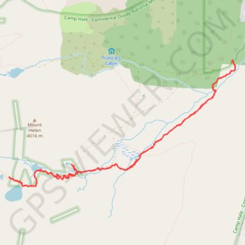
White River National Forest. #Hike #Lake #Waterfall #River #Forest #Mountain #Nature

  • Distance: 12.3 Km
  • Elevation gain: 598 m
  • Maximum elevation: 3,730 m
  • Elevation loss: 598 m
  • Minimum elevation: 3,153 m

Interactive map

GPS track profile

About this GPS track

Other GPS tracks

Click on a GPS track to view route, its statistics and profile.

Mohawk Lakes via Spruce Creek

United States > Colorado > Summit County > Blue River > Blue River

White River National Forest. #Hike #MTB #Lake #Moutain #River #Waterfall #Forest

Distance: 13.5 Km • Elevation gain: 654 m • Maximum elevation: 3,785 m